

As it is known, ESRI now develops ArcGIS Pro product in accordance with 64bit architecture instead of desktop GIS software ArcMap. In this context, I have been using ArcGIS Pro in my work since the day it was published. I even have a tutorial on using ArcGIS Pro available on the UDEMY platform (Click here to view the tutorial). It is quite simple to make 3D maps with ArcGIS Pro, which adds new features every day and contains a lot of capabilities.

In fact, is it possible to position as if we were in a place we have never been to or where we were not there at that moment, or to act on applications as if they were there without going to different locations? Yes, it is possible to do this with the “mock location” (also known as “fake GPS”) feature on mobile devices with Android operating system.
The 1.4 version of the mobile application named Coordinate Transformator, which was published on Google Play for Android devices in March 2019, which allows the rapid conversion of EPSG codes and the coordinates of different coordinate reference systems using epsg.io web services, was released.
Continue reading Coordinate Transformator Updated! So What’s New This Version?

Detection of the Problem
Recently, ESRI’s desktop application, ArcMap, has often started to be slow when many users edit with different computers at the same time. Writing data to the ORACLE database, where we keep spatial data with ArcMap, became quite difficult and annoying. Although we made the necessary follow-ups and investigations on the subject and took some precautions, after a while, the slowness in question came to light again, and although the solutions we applied to solve the problem worked in the short term, the slowness started again over time.

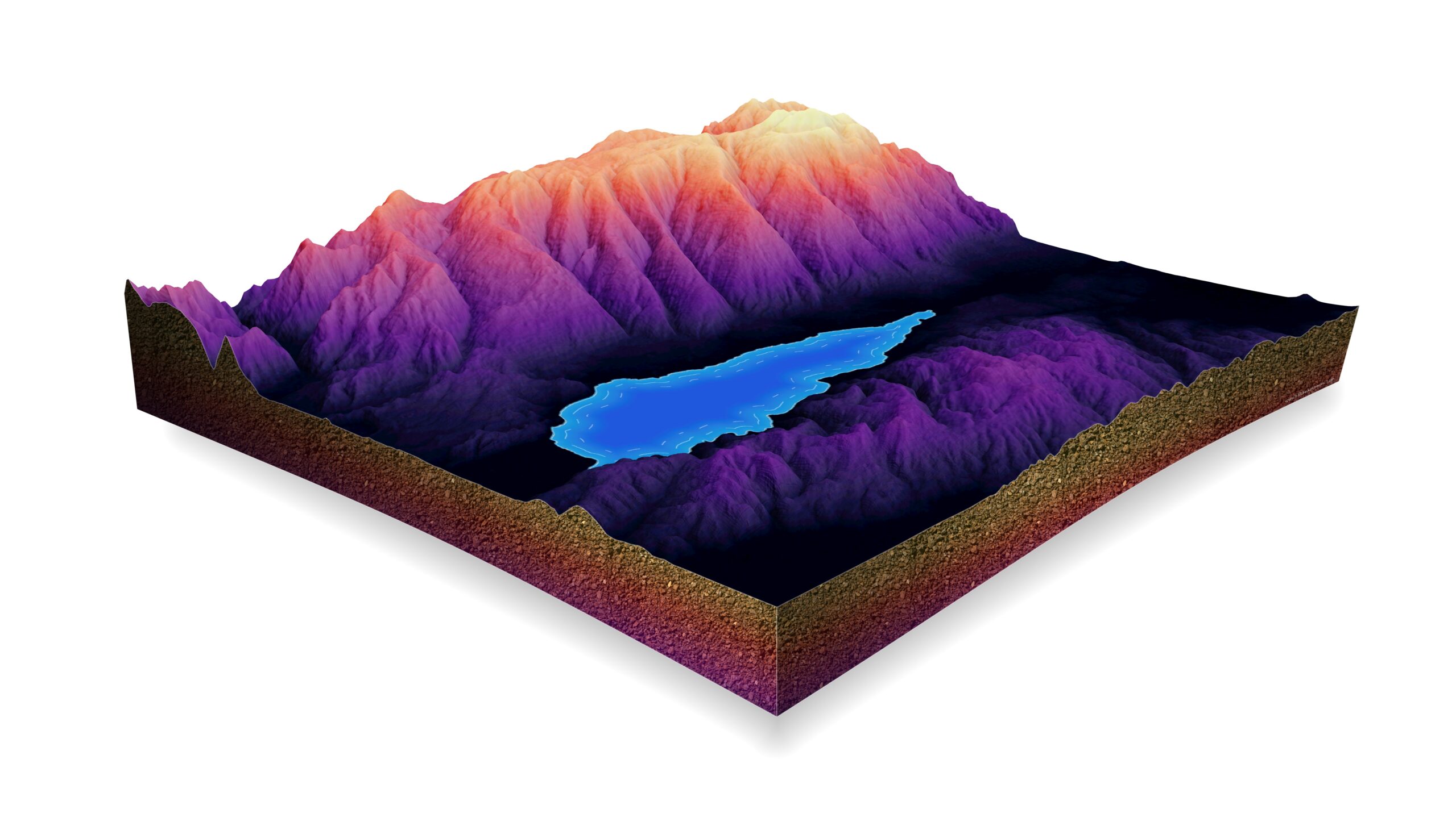
Last year I participated in a group nature walk. As we climbed a high hill, everyone in the group started to say the values they obtained from different sources regarding the altitude of the highest point of the hill we will climb. Consequently, the values obtained from different sources did not coincide with each other. The last topic turned around and came to me. The expectation of the group is that I would say that one of the sources belonging to these values is the best; I cannot say that none of them are the most correct or the most wrong, frankly, these sources offer values based on the models they have made, that the accuracy may vary between the sources, in this context, precise measurement should be made for the most accurate result, otherwise, if there is no variation between them, even the part of unemployed could remain within the scope of hiking we have done alone, plus / minus, I stated that the acceptable level of variability in 5-meter. And so we continued the walk where we left off.
Continue reading Practical Tools with Python – Google Elevation API
Leave a Comment