
SASKİ GIS Tools ArcMap Add-In v1.0.3-beta
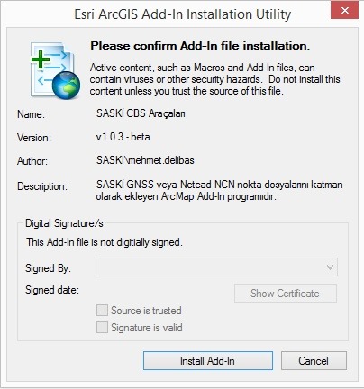 As part of SASKİ’s geographic information systems work, in order to open point data collected in the field with GNSS survey instruments, or contained in Netcad *.ncn format files, directly in ArcMap, and to directly use a Netcad *.dns local parameter file for coordinate transformation, the SASKİ GIS Tools ArcMap Add-In v1.0.3-beta was designed by Computer Engineer Mehmet Veysel DELİBAŞ, who works at the SASKİ Software and GIS Branch Directorate. The video tutorial below briefly shows how to install and use the Add-In.
I hope the SASKİ GIS Tools ArcMap Add-In v1.0.3-beta, which initially serves this purpose but will take shape functionally over time according to the needs of our GIS unit, will be useful to you as well.
You can download the Add-In by clicking here.
Note: If you encounter any errors while using the Add-In, please let us know.
Posted: by Hakan KOCAMAN

Category: ArcGIS, C# (CSharp), GIS, Programming, Video Tutorials
Tags: Affine Transformation, ArcMap Add-In, NetCAD, Netcad dns, Netcad ncn