Georeferencing in ArcGIS Pro

What is EPGS?

EPSG, which stands for The European Petroleum Survey Group, was founded in 1886 and consists of expert researchers, cartographers and geodesers of European oil companies. This group meets twice a year to discuss and coordinate issues related to the oil industry. In addition, EPSG protects geodetic parameters (datum and projection definitions, ellipsoid parameters, etc.) in a relational database by a geodetic working group.

Continue reading What is EPGS?

Share This

Ncz Viewer

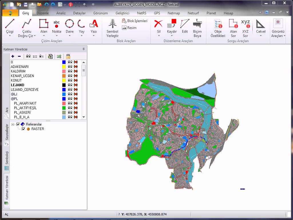
Last year, a professor from the university said that he wanted to install NetCAD on his computer in order to view the files with * .ncz extension, but he could not find the appropriate NetCAD installation file. Today, a friend of mine, who is also a geological engineer, stated that he made a lot of research on the internet to view files with * .ncz extension in the field, but he could not find a suitable software. I think one of the biggest shortcomings of NetCAD at this point is the lack of a viewer application to view files with * .ncz extensions or the lack of a restricted version (such as no recording or output). In fact, people are first looking for applications called NetCAD viewer or ncz viewer, but somehow they cannot find what they are looking for. However, there are several more successful map cad software that is equivalent to NetCAD in the market and unlike NetCAD, there are demo or limited versions of these software that can display files with * .ncz extension.

Continue reading Ncz Viewer

Share This

How to XML Files Merge?

xml-fileMany software can generate reports as XML. I have received reports of users’ sessions in XML format from a GNSS software we have been using recently. However, the report for each session unfortunately did not come in a single XML file. This meant that I opened the XML file for each session one by one and analyzed it. I started researching how to combine XML files of all these sessions in the same format into a single XML file, and as a result, the Windows Console program, which I named XML Merge.exe, came out. In short, the program collects XML files of the same format in a single XML file. In this way, the user can easily perform analysis with a single XML file.

Continue reading How to XML Files Merge?

Share This

What is Open Street Map?

Today, one of the possibilities provided by the advances in mobile device technologies and increasing social media applications is the use of map bases in every sense. Although most of the map bases (Google Map, Bing Map, etc.) are commercial, Open Street Map (OSM for short) is an open source, ad-free and non-commercial map application used in many mobile applications. It can even be briefly called the positional equivalent of Wikipedia.

Continue reading What is Open Street Map?

Share This