
 The first episode of the KUZEN Series, written and directed by Surveying Engineer Hüseyin Cem İNCE, who also plays one of the characters, has been released. You can find out about the first episode and more on the series’ instagram account and youtube channel. I congratulate my colleague and everyone who contributed.
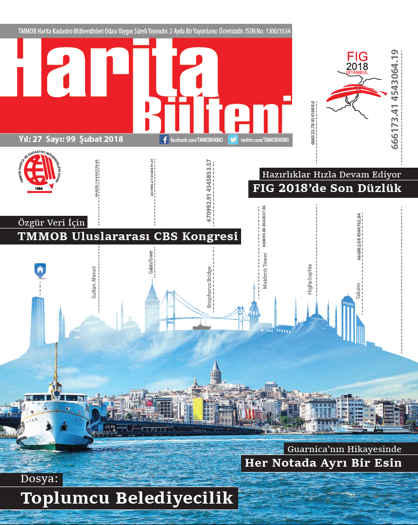 Issue 99 of the Map Bulletin of the TMMOB Chamber of Surveying and Cadastre Engineers, which includes an article of mine titled “GNSS and Mobile Technologies”, has been published. Thanks first of all to my dear friend Ali İPEK, who is also the bulletin’s Editor-in-Chief, and then to everyone who contributed to its preparation. Without further ado, you can use the links below to access the new issue.
To access issue 99 of the Map Bulletin, click here.
To read issue 99 as an e-magazine, click here.
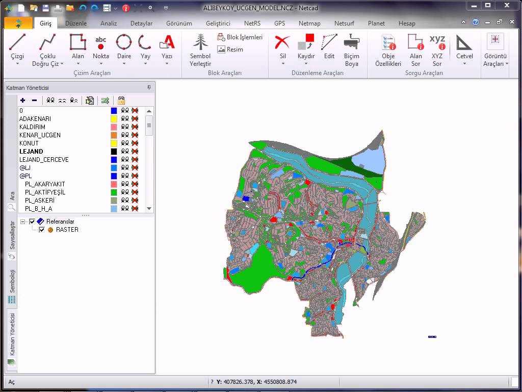
Last year, a professor from the university said that he wanted to install NetCAD on his computer in order to view the files with * .ncz extension, but he could not find the appropriate NetCAD installation file. Today, a friend of mine, who is also a geological engineer, stated that he made a lot of research on the internet to view files with * .ncz extension in the field, but he could not find a suitable software. I think one of the biggest shortcomings of NetCAD at this point is the lack of a viewer application to view files with * .ncz extensions or the lack of a restricted version (such as no recording or output). In fact, people are first looking for applications called NetCAD viewer or ncz viewer, but somehow they cannot find what they are looking for. However, there are several more successful map cad software that is equivalent to NetCAD in the market and unlike NetCAD, there are demo or limited versions of these software that can display files with * .ncz extension.
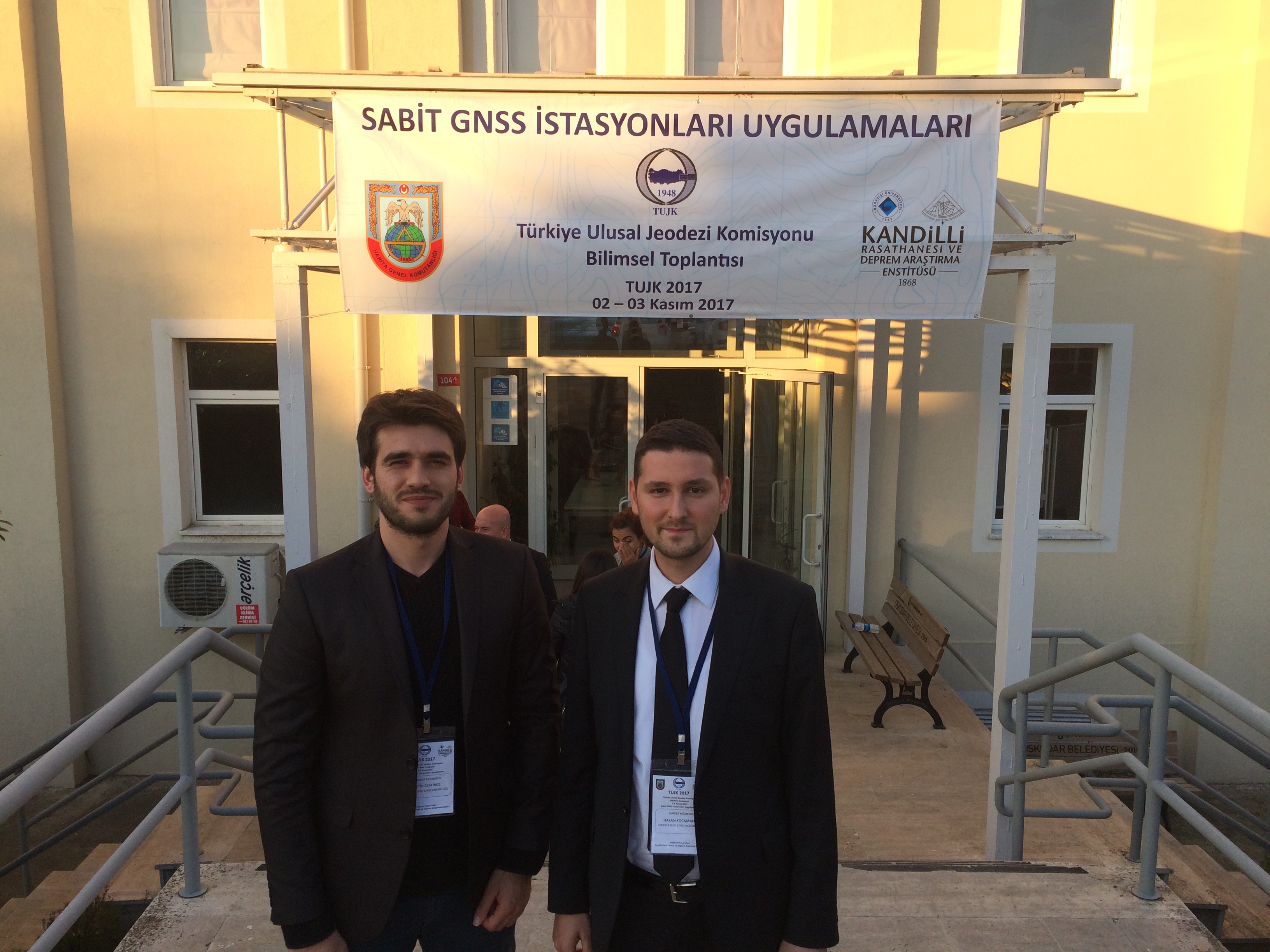 At the 2017 Scientific Meeting of the Turkish National Geodesy Commission (TUJK) on “Applications of Continuously Operating GNSS Stations”, held on 2 November at the Kandilli Observatory of Boğaziçi University, I gave a presentation to the participants titled SASKİ GNSS Network.
At the TUJK2017 Meeting, held regularly with the participation of scientists from many universities in Turkey, employees of various public institutions and organisations and representatives of the private sector, we gave detailed information about the GNSS activities our institution has been carrying out since 2007 and the SASKİ GNSS Network established in 2016.
Continue reading Turkish National Geodesy Commission (TUJK) Scientific Meeting – 2017
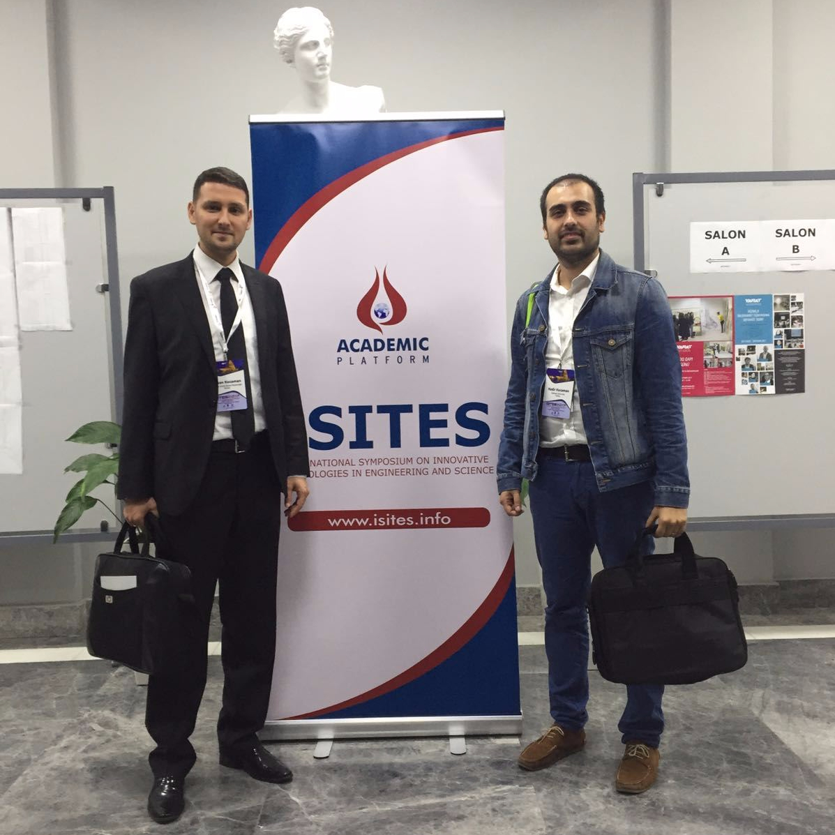 ISITES2017 (5th INTERNATIONAL SYMPOSIUM ON INNOVATIVE TECHNOLOGIES IN ENGINEERING AND SCIENCE), organised for the 5th time this year by Sakarya University, Azerbaijan University of Architecture and Construction and Akademik Platform, took place in Baku, Azerbaijan, between 28 September and 1 October. As part of my master’s thesis, under the supervision of Assist. Prof. Dr. Hakan ASLAN, I prepared a paper titled “GIS-Based Bus Stop Optimisation for the Sakarya Public Transport System”, which I presented at the symposium. I would like to thank the entire SASKİ family, represented by our General Manager Dr. Rüstem KELEŞ, who gave me this opportunity, my advisor Assist. Prof. Dr. Hakan ASLAN and the ISITES2017 Organising Committee.
Leave a Comment